In well-established cities, over time there becomes a demand to facilitate long-distance travel throughout the entire city core, which necessitates the construction of highways. When such a thing is not possible due to the abundance of skyscrapers and other allocated lands, they repurpose or repave certain streets into parkways or “avenues”.
Sometimes, no modifications are made whatsoever except for the traffic signaling system where there are discrete “blocks” of green light traffic allowing you to travel a mile in the city before you hit another red light (for instance heading north on Broadway, New York City).
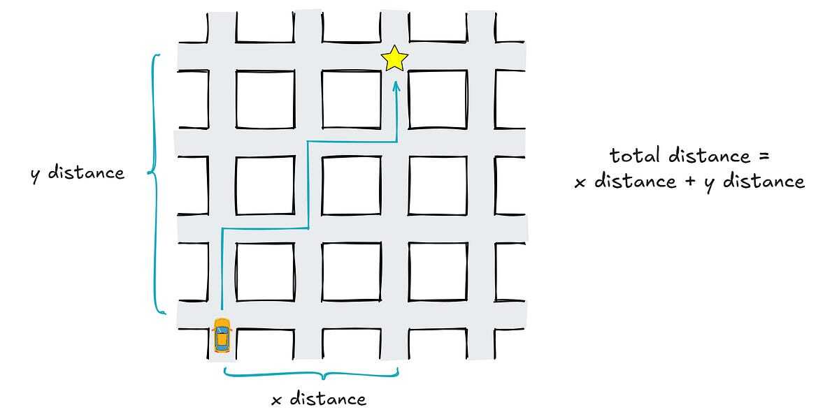
Zigzagging through local streets is a surefire way to run into red lights and stop signs, reducing your “average speed” and increasing your total trip time.
In well-established cities, over time there becomes a demand to facilitate long-distance travel throughout the entire city core, which necessitates the construction of highways. When such a thing is not possible due to the abundance of skyscrapers and other allocated lands, they repurpose or repave certain streets into parkways or “avenues”.
Sometimes, no modifications are made whatsoever except for the traffic signaling system where there are discrete “blocks” of green light traffic allowing you to travel a mile in the city before you hit another red light (for instance heading north on Broadway, New York City).
Zigzagging through local streets is a surefire way to run into red lights and stop signs, reducing your “average speed” and increasing your total trip time.
Okay, but why North South? Or do you mean in this specific scenario North South would be faster?